The Mumbai Metro Map is a visual guide to the city's efficient and extensive metro network. It provides commuters and tourists with a clear overview of routes, stations, and connections, making navigation in Mumbai easy and convenient. Download App to explore more!


Mumbai Metro Map!
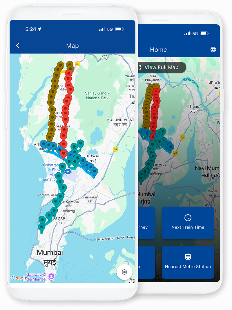
The Mumbai Metro map is a diagram of the rapid transit system that serves the city of Mumbai. It is divided into 4 lines: Red Line, Yellow Line, Blue Line and Aqua Line also known as Lines 7, 2A, 1 and 3 respectively.
These corridors intersect at D.N. Nagar and Dahisar East, making it easier for passengers to switch lines and travel seamlessly.
The Mumbai Metro is a convenient and efficient way to get around the city, connecting key locations such as Versova, Andheri, Ghatkopar, Jogeshwari, Goregaon, Kandivali, Borivali, and Dahisar, serving both daily commuters and visitors alike.
Access a wealth of essential information at your fingertips by downloading the Mumbai Metro App for free. This user-friendly application brings you all the details you need for a hassle-free journey, making your daily commute a breeze.
Navigating with the Mumbai Metro Map is a breeze with our user-friendly guide. Discover Mumbai's vibrant cityscape effortlessly as you explore routes, stations, and connections. Whether you're a daily commuter or a visitor, our Metro Map ensures a smooth and efficient journey through the heart of the city.
Your gateway to discovering Mumbai's metro network. Uncover routes, stations, and key destinations, simplifying your city travels and ensuring a seamless metro experience.
Your in-depth resource for exploring the city's metro system. Gain valuable insights into routes, stations, and travel strategies to enhance your Mumbai journey.
Your must-have resource for Mumbai's metro system. Access vital information to enhance your metro experience in the city.